Bharat Electronics and Esri India Sign MoU to Build GeoAI and GIS Tools for the Armed Forces
Bharat Electronics has signed an MoU with Esri India to jointly develop GIS, location-intelligence and GeoAI solutions for the defence sector, building on the indigenous 'Indo ArcGIS' platform and training BEL's own engineers in the process.
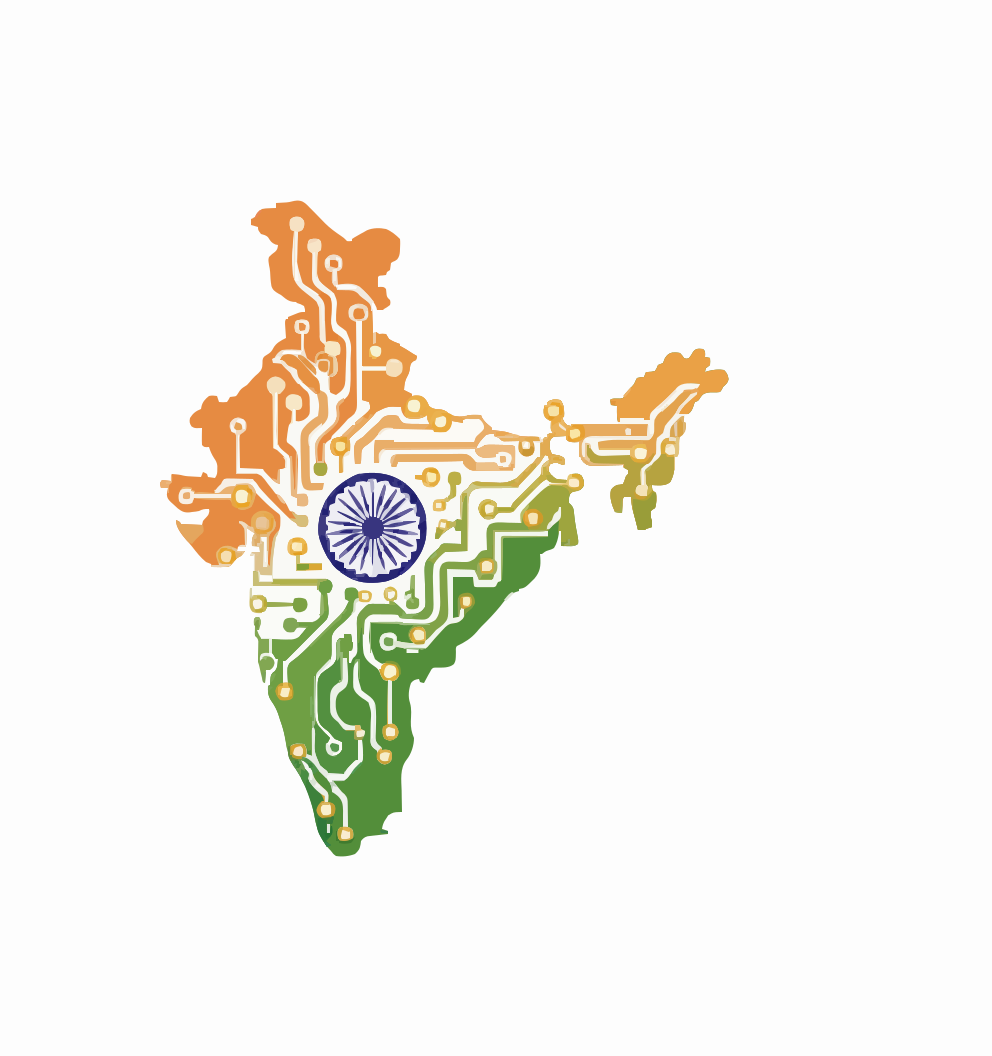
Defence electronics major Bharat Electronics Limited (BEL) has signed a memorandum of understanding with mapping-software company Esri India to jointly develop geospatial solutions for the country's defence establishment. The agreement, made public on 3 August 2026, will see the two firms collaborate on Geographic Information System (GIS), location-intelligence and GeoAI capabilities — bringing artificial intelligence to the maps, terrain data and sensor feeds that increasingly underpin modern military planning.
The partnership
BEL, a Navratna public-sector enterprise under the Ministry of Defence and headquartered in Bengaluru, is one of India's principal suppliers of radars, communications systems and defence electronics. Esri India provides GIS and location-intelligence software, most notably the "Indo ArcGIS" platform tailored for Indian users. Under the MoU, the companies will pursue defence projects that pair BEL's strengths in systems integration and defence electronics with Esri India's expertise in spatial analytics and GeoAI. Crucially, Esri India will also train BEL's engineers so the PSU can build its own in-house GIS and GeoAI skills rather than depend indefinitely on an external vendor.
What GeoAI brings to defence
Geospatial intelligence has always been central to military operations — knowing the terrain, the routes and the position of friendly and hostile forces. GeoAI adds a layer of automation on top of that map: machine-learning models that can detect features in satellite and drone imagery, flag changes on the ground, model line-of-sight and mobility across terrain, and fuse multiple sensor streams into a single common operating picture. For commanders, that can compress the time between observation and decision. For a systems house like BEL, embedding these capabilities into command-and-control and surveillance products makes those systems more capable and more competitive.
Indo ArcGIS and building in-house capability
The choice of the Indo ArcGIS platform is deliberate. A defence-grade geospatial stack has to run on trusted, ideally domestically controlled, infrastructure — sensitive terrain and operational data cannot sit on foreign cloud services. By standardising on an India-focused platform and training BEL's own workforce, the partnership aims to keep both the tooling and the skills within the national defence ecosystem. That in-house capability is arguably as important as the software itself, because it lets BEL adapt and extend the solutions for specific service requirements over time.
A Make-in-India play
Both organisations framed the collaboration as aligned with the government's Make in India push for indigenous defence capability and technology-sharing. It is a modest agreement in scale — an MoU rather than a signed production contract — but it is representative of a wider trend: defence PSUs partnering with specialist software and AI firms to modernise the digital backbone of India's armed forces. As surveillance sensors, drones and networked systems proliferate, the ability to turn raw geospatial data into timely, AI-assisted intelligence is becoming a decisive edge, and BEL is positioning itself to supply exactly that.
Sources
- ANI News: https://aninews.in/news/business/bharat-electronics-limited-esri-india-sign-mou-to-develop-gis-geoai-solutions-for-indias-defence-sector20260803192105/
- The Tribune: https://www.tribuneindia.com/news/business/bharat-electronics-limited-esri-india-sign-mou-to-develop-gis-geoai-solutions-for-indias-defence-sector/amp
- MediaBrief: https://mediabrief.com/esri-india-and-bel-sign-mou-for-defence-gis-and-geoai/
- BIS Infotech: https://www.bisinfotech.com/bharat-electronics-limited-and-esri-india-join-hands-to-strengthen-indias-defence-capabilities/